
See Fairfield Neighbors by Parcel
For a Fairfield neighbors question, begin with the immediate tax parcels around one known address. The county map can place the target alongside nearby parcels, while the property card adds tax-owner, situs, and mailing fields for each parcel. A Recorder document can then answer a title question. These are useful records for understanding a block, but they do not turn the block into a list of its occupants.
| Source | What It Shows About a Block | Access |
|---|---|---|
| Auditor GIS Near Me | Nearby current parcels, their location and PIN, mailing fields, and distance | Public map tool; the configured buffer begins at 500 feet and returns parcels, not people. |
| Auditor property card | Tax owner or entity, situs and mailing fields, legal description, value, and transfer context | Public property search; it does not list all household members. |
| City Interactive Map | Wards, zoning, flood, parks, land division, services, and aerial context | Public informational layers, not ownership certification. |
| Recorder deed or plat | Legal lots, blocks, document parties, and title sequence | Cloud Search, historic indexes, book/page, and Recorder assistance. |
| Ohio voter lookup | Public election information for an already named individual | First name, last name, and county are required; it is not a street browse. |
| BCHS research collections | Historic civic, church, family, map, and local-history context | Staff and collection research; no public member roster was verified. |
The Butler County nearby-parcel GIS layer is the reproducible starting place for the parcel view. Open each selected parcel in the Auditor record before drawing a conclusion from a mailing name or a boundary line.
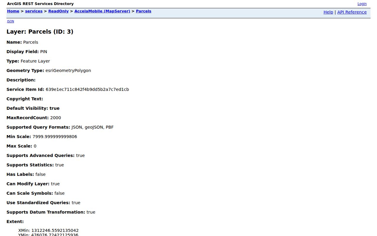
Nearby parcels are a map relationship. They do not prove that adjacent owners, mailing contacts, or past document parties are your Fairfield neighbors.
Use Fairfield Neighbor Near Me Buffer
The County Experience map has a direct way to look outward from one parcel. After locating the target in the Auditor property search or GIS, choose its Current Parcel and use Near Me. The tool accepts a point, line, polygon, or target-parcel location. Its current default buffer is 500 feet, and the nearby Current Parcels can then be sorted by distance. A smaller or larger buffer changes the parcel set, so preserve the chosen distance with the results.
- Find the Fairfield address in the Auditor property search or county GIS and confirm the target parcel.
- Open the Current Parcel and record the PIN, LOCATION, and legal description before expanding the search.
- Choose Near Me, then select a point, line, polygon, or the parcel location as the center.
- Apply the buffer. The current configured default is 500 feet, but it can be adjusted for the question.
- Sort the nearby Current Parcels by distance and open each candidate in its own Auditor record.
- Use a PIN or legal description to verify a particular parcel in a Recorder document when a title question remains.
This is a parcel-first process. For a full named-street title and historic-address trail, the Fairfield street directory follows a broader sequence.
Note: Buffer distance describes map proximity, not a social relationship or a shared household boundary between Fairfield neighbors.
Read Fairfield Neighbor Parcel Results
The nearby result and export configuration supplies a limited, useful set of fields: PIN, LOCATION, Mail Name 1 through 2, Mail Address 1 through 3, and distance. The result is deliberately parcel oriented. LOCATION identifies the property’s situs. The mail fields identify a correspondence contact on the tax roll. A different mailing address is normal and does not show that a person moved, owns another residence, or occupies the parcel.
| Result field | Careful reading |
|---|---|
| PIN | Use it to re-open the Auditor record and help match the parcel to a legal description. |
| LOCATION | The property situs address, not necessarily the place where tax correspondence goes. |
| Mail Name 1–2 | The name fields carried on the property tax record, which can name an entity, estate, trust, or co-owner. |
| Mail Address 1–3 | Tax-roll correspondence data that can differ from the situs address. |
| Distance | How far the parcel is from the chosen map center, not proof of adjacency in the ordinary sense. |
Open the individual parcel card when detail matters. Its transfers, legal fields, assessment data, and maps can verify the property record, while still leaving the question of occupants unresolved.
Layer Fairfield Neighbor Map Details
The Fairfield Interactive Map adds the geography that a tax parcel map does not: land division, topography, council wards, flood zones, zoning, city services, parks, and aerial imagery. Use those layers to understand why a physical block may not align neatly with parcel lines. A stream corridor, subdivision layout, park, or ward boundary can change how nearby land reads on the ground.
The City calls its map informational. For official zoning, land-use, or flood information, contact Development Services rather than treating a map display as a certificate. County GIS remains the stronger route for current parcel geometry and Auditor records remain the route for tax-owner fields.
Tie Fairfield Neighbor Parcels to Deeds
Once a nearby parcel has a PIN and legal description, a Recorder document can add the title history. Use the Butler County Recorder advanced search to work with party names, recorded dates, document types, document numbers, book/page, legal-description criteria, and OCR. Index Only is for indexed roles and document facts. Index & Full Text can find an address or PIN within document text when that wording is not a formal index field.
A deed can identify the parties, recording date, legal description, and book/page placement for a parcel. A plat can clarify lots and blocks. Neither one provides a complete residents list. Use the legal description to avoid joining a similar name or a nearby street number to the wrong Fairfield parcel.
Note: A title document describes a recorded property interest, so its parties should not be treated as a current list of Fairfield neighbors.
Why Fairfield Voter Search Is Not a Roster
Ohio’s My Voter Information tool is an individual verification route. The initial search requires a first name, last name, and county, with Butler selected for Fairfield. A Street Name dropdown may appear only after the initial match. That conditional control narrows an individual result; it does not make a public street or block directory.
Ohio public website information has statutory limits and election-period restrictions. Confidential and Safe at Home registration information, SSN, driver or state-identification numbers, phone, email, some public-worker addresses, and citizenship evidence are protected. Voting history reflects participation, never ballot choices. A missing or inactive entry needs a direct Board of Elections question, not an inference about a person’s residence.
Use Fairfield Neighbor History, Not Member Lists
No official Fairfield HOA or neighborhood-association member directory, umbrella council roster, block-watch roster, or congregation member list was verified in the research. The City Business Directory and Fairfield Chamber directory are organization and business resources, not resident lists. Do not substitute a private membership list for public parcel records or present a group contact as proof of who lives on a block.
The public historical research channel is the Butler County Historical Society Randall Research Center. Its collections include city directories, building histories, newspapers, atlases and plat maps, yearbooks, court and legal material, family files, and church, civic, and business materials. Ask staff a focused historical question about a name variant, likely place, address or cross street, and date range.
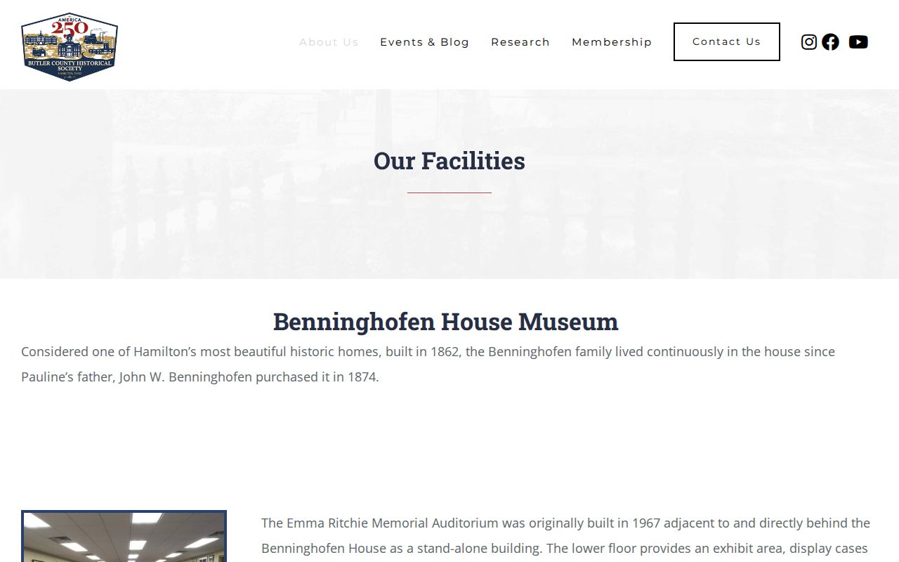
The research center can add historical context to a Fairfield block without claiming that its community collections are a current membership directory.
Read Fairfield Neighbor Geography Before Cityhood
Fairfield’s modern city is younger than Butler County’s land and court records. Residents formed the village in 1954 and the city in 1955 after the long Fairfield Township period. Earlier block clues may sit under Fairfield Township, Hamilton, Butler County, or a former hamlet name such as Symmes Corner, Jones Station or Stockton Station, Furmandale or Snaptown, Fairplay or Black Bottom, and Flenner’s Corner.
This history is more useful than a false claim that every old address follows the modern map. Compare legal descriptions, subdivision lots, cross streets, historic maps, and the place wording printed in the source. No verified citywide street-renumbering or renaming year was found, so a failed modern-address search should lead to those checks instead of an invented explanation.
Note: Old place names help locate records, but compare them with a legal description, map, or cross street before matching a Fairfield parcel.
Compare Fairfield Neighbor Sources
Official records make narrow, checkable claims about a parcel, a title document, an individual election record, or an existing city file. Commercial neighbor-search categories may combine copied or stale material from different sources and can blur the difference between owner, mailing contact, former resident, and occupant. Use an official source to verify the specific fact that matters, then leave unsupported household claims aside.
| Official Fairfield record | Commercial neighbor category | What to verify |
|---|---|---|
| Auditor parcel and GIS | Compiled address listing | PIN, LOCATION, owner field, and parcel geometry in the public county record. |
| Recorder deed or plat | Summarized property history | Document party, legal description, date, and book/page in the source document. |
| City map or records request | General area profile | The specific zoning, permit, code, or report record held by the City. |
| Named voter lookup | Broad name-and-address claim | Individual match and statutory public limits, never a block-level inference. |
Official access is slower at times, but it makes the record keeper, date, and field visible. That is the safer foundation for personal research about Fairfield neighbors.
Request Fairfield Police Records by Detail
A police report is an address-specific incident record, not a neighbor directory. Fairfield Police Records accepts requests in person, by written mail with a self-addressed stamped envelope, by phone or fax, online, and through the crash-report route. Give dates, times, case numbers, locations, persons involved, or the record type when known. Video can require review and redaction, and the City may disclose an estimated fee where applicable.
The Fairfield police-report request route is appropriate when a particular existing report is needed. It is not a tool for watching a block or identifying who lives near an address.
Specific dates and report details help the records staff identify a responsive file while allowing required review and redaction.
Note: A report may contain restricted or redacted material, and an incident location does not establish a person’s home address.
Privacy Limits for Fairfield Neighbors
Public parcel, map, and document data leave many things private. Other household members, minors, and protected people may not appear in the property record. Ohio Safe at Home provides an address-confidentiality program for eligible participants, and voter confidentiality rules withhold sensitive fields. Courts can seal or redact records. BMV personal information is restricted, and utility or delivery information is not a Fairfield neighbor lookup.
Use the data only for a lawful, personal purpose such as property history, civic understanding, or reconnecting through an appropriate record. Do not collect more than the question needs, and never rely on parcel proximity as proof of a relationship.
Lawful use. Fairfield neighbor records can support respectful personal research and local context. Never use an address, parcel, document, or report to stalk, harass, intimidate, threaten, or harm anyone.