
Trace a Fairfield Street by Address
A Fairfield street-by-street search is a property trail first. Start with the current address in the Auditor’s property system, then retain the parcel identifier, situs address, and legal description before moving on. Those terms tie a numbered street location to the land described in a deed. They are more stable than a remembered owner name when a lot was split, a home changed hands, or a street label appears differently in an older record.
- Enter the current number and street name in the Butler County Auditor address search. A street-name-only search can bring back the parcels on a Fairfield street.
- Open the matching parcel card and record its PIN, the property LOCATION, legal description, owner field, mail fields, transfer details, and any subdivision or lot wording.
- Take the PIN, legal description, owner name, and transfer date to the Butler County Recorder. Search the party and date fields, then use OCR for an address or parcel phrase and save the document number or book and page.
- For a construction, maintenance, or inspection question, send Fairfield a focused public-records request naming the address, date range, record type, and whether inspection or copies are wanted.
- For an earlier household clue, compare the address against a regional reverse directory. The historic entry is tied to that edition’s date, not proof of a current resident.
That sequence keeps ownership, title, municipal activity, and historic address evidence separate. It also avoids treating a street address as a list of all Fairfield residents.
Search the Fairfield Street Directory Roll
The Butler County Auditor Address Search is the cleanest beginning for a Fairfield street directory search. Enter the street number and street name when both are known. The Auditor instructs users not to enter the street suffix. A street name on its own can return addresses along that street, and the search accepts a wildcard. The result set can be sorted by parcel, owner, address, roll, transfer date, or price, which helps separate similar addresses without guessing at occupants.
| Auditor field or mode | Input | How it helps a Fairfield street search |
|---|---|---|
| Street Number | Text, optional | Pairs with a street name when a single address is known. |
| Street Name | Text, optional | Use without a suffix; a street-only query can locate a segment. |
| Parcel Number | Full or partial PIN | Returns to the specific tax parcel after the address search. |
| Sort by | Parcel, owner, address, roll, transfer date, or price | Organizes results without implying that an owner is an occupant. |
| Map Search / Select By Buffer | Map, distance, and unit controls | Provides parcel context, selection, and map export options. |
The address-search screen shows the available starting modes. Once a street search produces a candidate, open the parcel rather than relying on the result-row name alone.
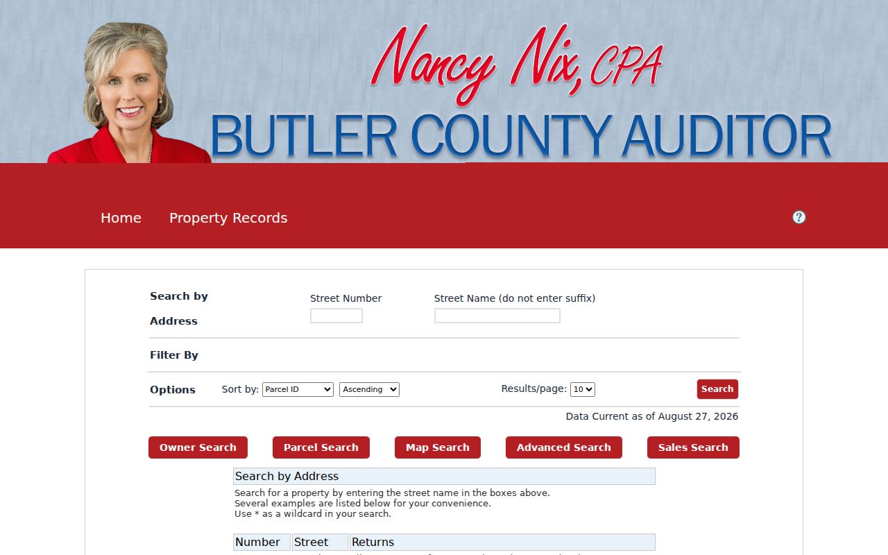
The screen reinforces the address-first step: number and street name identify the parcel trail, while any later question about a person needs a separate, appropriate record.
Note: The Auditor card is a tax and property record, so it cannot establish that every person connected with an address lives there.
Read a Fairfield Parcel Card
A parcel card turns an address hit into usable property keys. It can show the PIN, older PIN, owner, Legal 1 through Legal 3, school district, house-number components, the composite LOCATION, and neighborhood/group. Its navigation also includes transfers, residential or commercial information, permits, land, tax summary, value history, maps, photos, sketches, and special assessments. These are property and assessment fields, not a household roll.
Use the LOCATION as the situs address, meaning the physical property location used by the roll. Mail Name 1 through 2 and Mail Address 1 through 3 are correspondence fields, so they may differ from the site. An owner can be a person, trust, estate, company, or co-owner. Sales, validated transfers, values, and tax-status markers help identify the record, but none proves who is presently inside the home.
- Parcel or PIN
- The property identifier that connects the Auditor record to mapping and title research.
- Situs address
- The physical LOCATION of the property, distinct from the owner’s correspondence address.
- Legal description
- The lot, subdivision, block, or other land description used to match the correct property across documents.
- Plat
- A recorded map that lays out lots, blocks, streets, or subdivision boundaries.
- Criss-cross directory
- A historical address-arranged directory that can place a published household entry at a number for one edition.
Map a Fairfield Street Segment
Use the Auditor’s Map Search to see how the parcel pattern fits a street, rather than trying to infer it from an alphabetical owner index. The map supports browse and identify actions, selection by a buffer from a parcel, point, or polygon, and print, export, or map-image options. A map result is especially useful when driveways, side lots, or a subdivision layout make the numbered sequence less obvious.
The Auditor advanced parcel map is the interactive route for that task. Click a candidate parcel and return to its card for the PIN and legal description. Keep the map as context, not as a source of a resident roster.
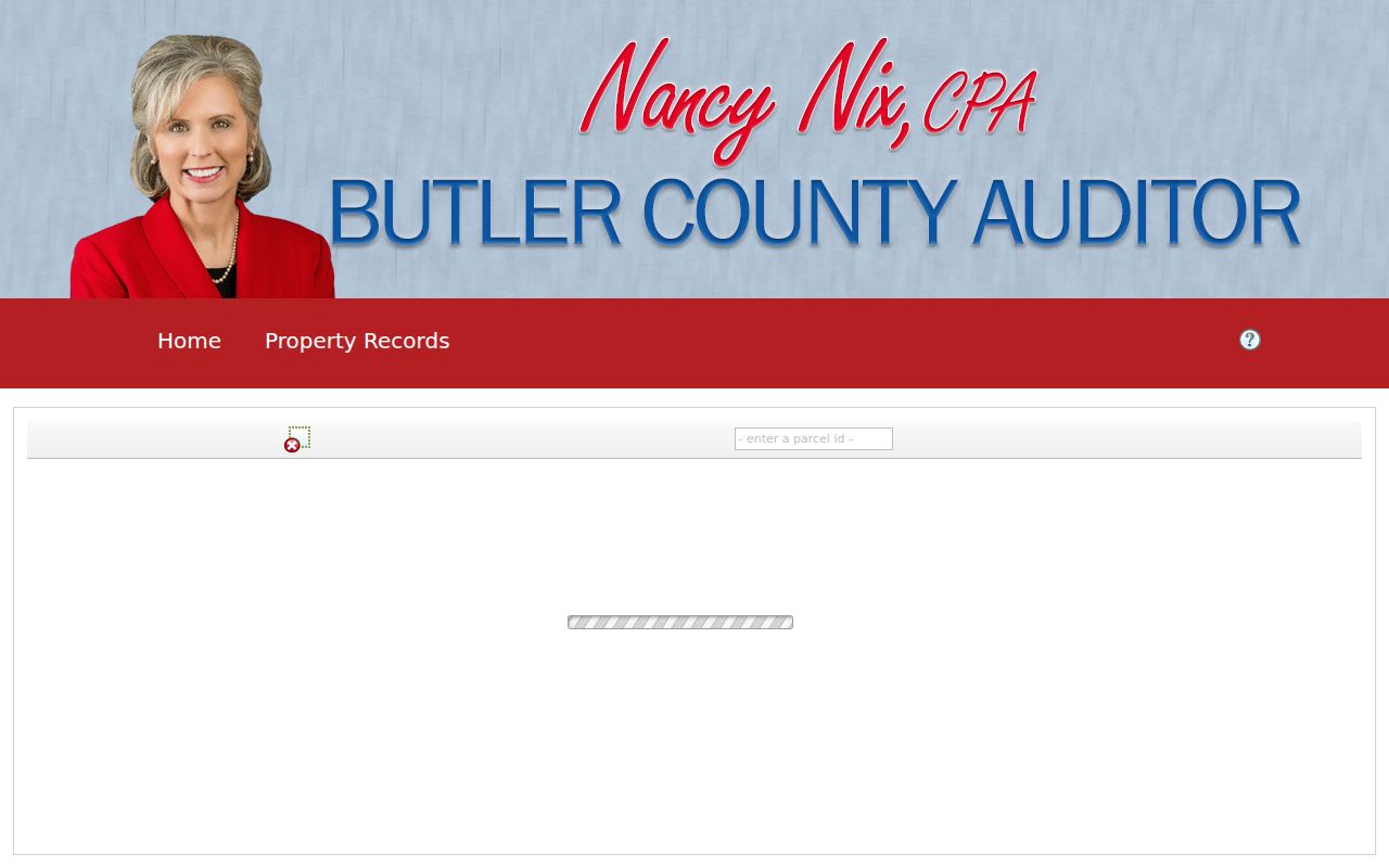
The map controls help isolate a street segment before opening individual parcel records. They do not identify the people who occupy each structure.
The Butler County Auditor parcel GIS service supplies the county parcel layer behind this kind of location work. The City’s interactive map is a second, different layer: it adds land division, topography, council wards, flood zones, zoning, services, parks, and aerial imagery, but the City calls that map informational and directs official zoning, land-use, or flood questions to Development Services.
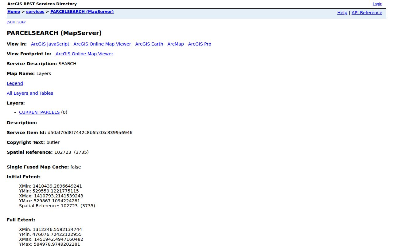
County GIS shows parcel geometry and location context. Pair it with the Auditor card when ownership or transfer fields must be checked.
Move Fairfield Parcels into Deeds
The Auditor-to-Recorder bridge answers a different question from a street directory search. Bring the situs address, PIN, legal description, subdivision or lot clue, transfer date, and owner or seller name into the Recorder search. Then narrow a party search by approximate recording date and document type. The acquisition deed identifies the grantor, grantee, recording date, legal description, and document placement. Search the seller as an earlier grantee only after matching the same land description.
For location continuity, the Recorder’s geographic and other historic indexes offer City, Township, Village, Subdivision, Condominium, and Lot/Range hooks. Those fields can carry a Fairfield property trail through a subdivision name or lot number when a street number is absent from older documents. Plats add the visual link between a legal block or lot and the road pattern.
| Address record | Best Fairfield use | Access and boundary |
|---|---|---|
| Auditor parcel card | PIN, situs, owner, mail fields, values, and transfers | Public property search; no household list. |
| Auditor or City GIS | Parcel pattern, roads, zoning, flood, ward, or aerial context | Map context, not a survey or ownership certification. |
| Recorder deed, mortgage, or plat | Parties, title sequence, legal description, book/page, and image | Cloud Search, book/page, and historic index routes. |
| City permit or code file | Project, inspection, or enforcement event at an address | Request narrowly; no verified public history search. |
| Reverse directory or newspaper | Historic address and household clue | Edition-specific, incomplete, and not current proof. |
Note: Match the legal description as well as the street address whenever a parcel was divided, merged, or associated with more than one number.
Search Fairfield Deeds with OCR
The Butler County Recorder advanced search has two useful layers. Index Only searches formal metadata, including party roles, recording date, document type, document number, book/page, and legal indexing. Index & Full Text searches OCR, which can find an address or parcel number inside the image even when the words are not a formal indexed field. That local OCR option is valuable when a street directory clue needs a document check.
Use party names in the observed LASTNAME FIRSTNAME form, then apply a date range or document type when needed. Book and page are the direct path for legacy access. The Recorder says its imaging project is complete and that deeds, mortgages, miscellaneous, release, lease, power-of-attorney, and partnership books can be reached by book/page. Registration is required for downloads or Property Alerts, while the public search interface is available without a paid subscription.
The Recorder search screen shows the party, date, book/page, legal-description, and OCR routes together. Start with the narrowest property key that the Auditor card supplied.
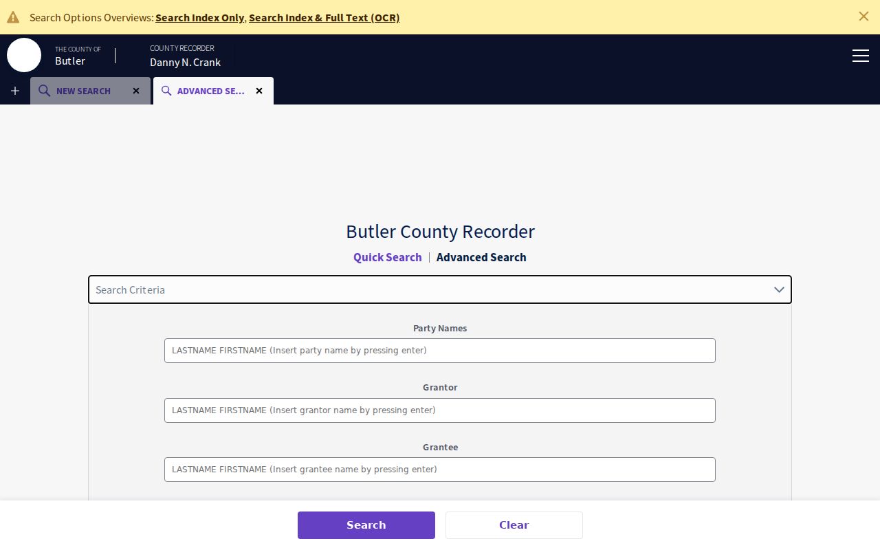
OCR complements, rather than replaces, the recorded index. A result still needs a document and legal-description check before it is assigned to a Fairfield parcel.
Read Fairfield Deed Index Eras
Older title work should switch index systems instead of assuming the current name search reaches every period. The Recorder describes standard documents as systematically indexed and imaged from 1987 forward. For earlier work, the online alphabetical index includes deeds for 1978 through 1987 and for 1797 through 1876. The 1803 through 1876 Red Books are arranged by last-name initial with separate grantor and grantee parts. Geographic Index research is the location route for city, township, village, subdivision, condominium, and lot/range terms.
That history is a practical Fairfield story: modern OCR and curated historic books solve different parts of the same title question. When a name, address, or exact date fails, move to book/page, the geographic index, a lot description, or a prior party. The Recorder office can also try to accommodate index or copy requests by email, fax, or mail when the item cannot be reached online.
Note: A missed result can reflect an index-era change or a legal-description mismatch, not proof that the property had no earlier recorded history.
Request Fairfield Permit Records
Fairfield Building & Zoning processes permit applications, plan review, issuance, and inspections. Development Services includes planning, zoning, building, property maintenance, code enforcement, and economic development. Those records may date a project, inspection, or enforcement event at a property. They do not certify who lived there, and no verified public online permit-history or code-case lookup was located in the research.
Use the Fairfield Development Services contact route or the City public-records process for a focused request. State the street address, a reasonable date range, whether the request concerns permit, code, or inspection material, and whether inspection or copies are wanted. The City policy allows inspection in a city facility without charge and asks requesters to describe the records rather than request an explanation.
The Development Services page identifies the municipal functions that may hold this address-date evidence.
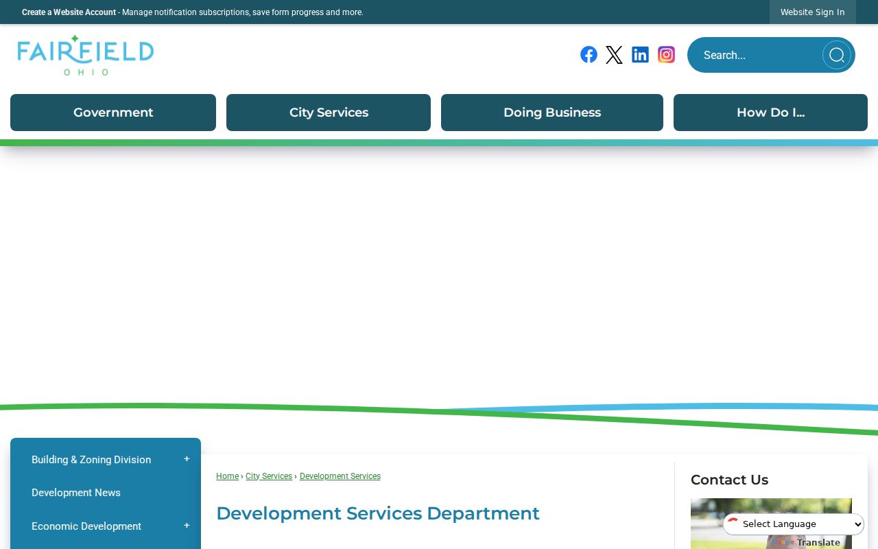
A narrow request makes it easier for staff to locate an existing file while preserving the difference between a property event and a resident claim.
Find Fairfield Addresses in Reverse Directories
For a past household clue, use a regional directory or reverse directory after the parcel and title work, not in place of it. A 1975 reverse-directory example has street, number, occupant, phone, and labels such as Vacant or No Return. It can associate a published entry with a number in that particular year. It cannot establish an uninterrupted stay, identify every resident, or describe the present day.
The Butler County Historical Society collection includes a broad but not complete Hamilton and Middletown directory run, family files, newspapers, maps, and plat material. For earlier or more detailed directory reading, use the Fairfield city-directory collection rather than turning this address page into a second historical shelf. A printed historical entry should always remain tied to its edition and its original place name.
Search Fairfield Township Street Terms
Fairfield became a village in 1954 and a city in 1955 after its history within Fairfield Township. Older land, map, directory, and newspaper searches may therefore use Fairfield Township or former hamlet terms rather than the modern city name. Useful research terms include Symmes Corner, Jones Station or Stockton Station, Furmandale or Snaptown, Fairplay or Black Bottom, and Flenner’s Corner.
No verified citywide street-renumbering or street-renaming year was found. Do not invent one to explain a failed hit. Compare cross streets, subdivision lots, maps, legal descriptions, and the historic place name instead. That is especially important for a Fairfield street directory search that reaches into records created before city formation.
Note: A familiar modern street label may be absent from older records because the relevant geography was township or hamlet based, not because the address trail ended.
Limits of a Fairfield Street Directory
Parcel and document records do not list all occupants. Additional household members, minors, and protected people can be absent from the public property trail. The Ohio voter tool requires a known first name, last name, and county, and it is not a browse-by-street directory. Its optional street control appears only after an individual search. Do not use voter data as a way to build a street roster.
Safe at Home protection, court sealing and redaction, and motor-vehicle privacy rules limit what may be released. Ohio restricts personal BMV information under R.C. 4501.27, and utility or delivery data is not a public Fairfield street lookup. Property ownership, a tax-mailing address, and a historic directory entry all answer narrower questions than who lives at an address now.
Lawful use. Fairfield street and address records are for personal, lawful research, property history, and civic curiosity. Never use them to stalk, harass, threaten, or harm another person.