
Fairfield ZIP Code Coverage
Four postal designations matter around Fairfield, but they do not describe four municipal districts. The Fairfield Post Office is at 700 Wessel Drive and uses 45014. A December 2024 USPS Office of Inspector General audit says the Fairfield Branch serves 45011, 45014, and 45015, with 45018 used for PO Boxes. The city’s address layer offers a second view of the geography, while USPS remains the right place to verify one delivery address.
| ZIP | Areas Covered | Post Office | Notes |
|---|---|---|---|
| 45014 | Primary Fairfield city-addressed area | Fairfield Post Office, 700 Wessel Drive | City GIS counted 17,353 address points labelled 45014. |
| 45015 | Shared Fairfield Branch delivery geography | Fairfield Branch service area | City GIS counted 38 city-labelled points; it is not municipal-only. |
| 45011 | Primarily Hamilton postal-label geography, with some Fairfield municipal points | Fairfield Branch service area | City GIS counted 311 city-labelled points; the USPS label grouping includes Hamilton. |
| 45018 | PO Box designation | Fairfield Branch | Do not treat it as a street-delivery or city-wide ZIP. |
The City’s Interactive Map description explains the map’s informational role and its available spatial layers.
Use that map to understand nearby wards, zoning, flood areas, services, parks, and imagery, not to certify a postal boundary or a property owner.
Fairfield ZIP Label Counts
The City GIS count is a useful local number, not a population count. Its grouped address points show 17,353 labelled 45014, 311 labelled 45011, and 38 labelled 45015. Those figures show why the primary postal label is common in the city layer, while the other two can still appear on Fairfield records. They do not establish the number of people, households, or deliverable addresses in any ZIP.
That distinction matters when comparing records. A city-address point reflects the maintained map data. A delivery ZIP comes from postal addressing. A county parcel record identifies land and a tax owner. Each system answers a narrower question, so matching ZIP labels alone is not a reliable way to identify a person or confirm city residence.
45011 and 45015 in Fairfield
45011 is the clearest local mismatch. USPS label material groups 45011 and 45012 under Hamilton, yet the Fairfield Branch serves 45011 and City GIS has 311 Fairfield municipal address points bearing that label. The label therefore cannot be used as a city-limit test. A Fairfield address can carry a postal designation that readers associate with Hamilton.
45015 works the same way on a smaller local scale. The branch serves it, and the city GIS has 38 address points with that ZIP, but the evidence does not make it a Fairfield-only code. Treat both as shared delivery geography. No verified local ZIP realignment date or street-by-ZIP boundary list was found, so no such change should be inferred.
The City GIS ZIP Code feature layer supplies the official city layer used for local postal context.
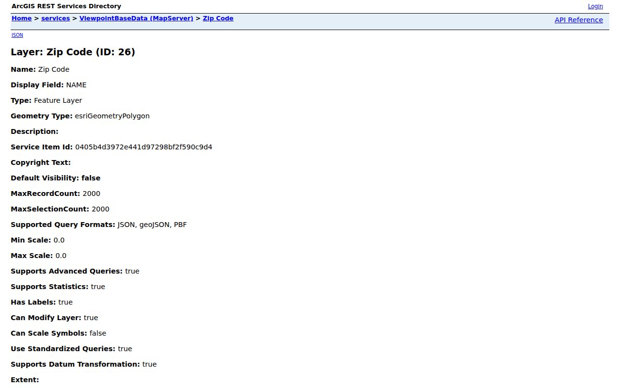
The layer has a wider regional extent, so it should support a map check rather than a claim that every displayed code serves every Fairfield street.
Fairfield ZIP Code Search Steps
There is no verified one-click ZIP-wide resident search in the local property or voter tools. The Butler County Auditor exposes owner, address, parcel, advanced, map, and sales modes, but not a verified ZIP filter. Ohio’s voter lookup requires a known first name, last name, and county. A sound Fairfield ZIP code search moves from postal verification to an exact address or parcel, then to the record custodian that holds the needed fact.
The Auditor’s address mode accepts a street number and street name, and its parcel mode accepts all or part of a PIN. Those paths lead to a parcel card with location, legal, mailing, transfer, value, map, and related tabs. They are a better fit than trying to turn a broad delivery area into a list of people. If the parcel card and postal result appear to conflict, retain both results and compare the situs, legal description, and recorded deed before deciding that they refer to the same place.
- Use the USPS lookup’s ZIP-by-address mode for the complete street address. The tool also offers ZIPs-by-city-and-state and cities-by-ZIP modes.
- Open the City GIS map or ZIP layer to see the postal context around that location. Its map is informational and is not an ownership record.
- Use the Butler County Auditor’s address or parcel mode to identify the PIN, situs address, legal description, and tax-owner record for the exact property.
- If title history is needed, use the Recorder’s party, document, legal-description, OCR, or book/page routes after the parcel is identified.
USPS returns delivery geography, not a residency finding. Once an address is narrowed to a parcel, the Fairfield street directory has the address-first record trail for current parcel and title research.
Fairfield GIS ZIP Code Fields
Fairfield’s public address geography keeps both physical-address parts and USPS-facing fields. This is why a map result can be a good starting point for checking a label, yet still needs an Auditor record for parcel ownership and a Recorder record for property rights. The city directs official zoning, land-use, or flood questions to Development Services rather than treating the public map as final evidence.
| City GIS field | How it helps with an address check |
|---|---|
| HOUSENUM | Street number portion of the mapped address. |
| UNITNUM | Unit identifier when one is stored. |
| BUILDING | Building identifier where applicable. |
| FLOOR | Floor information where applicable. |
| ZIPCODE | USPS-facing ZIP field in the city address layer. |
| USPS_CITY | Postal city label attached to the address data. |
| SEGID | Street-segment identifier used in the layer. |
| ADDRESS_AU | Address identifier retained by the city data. |
| PIN | Parcel identifier bridge for a county property search. |
A map inquiry can connect the address fields to the city’s spatial context, including land division, wards, flood areas, and zoning. That context is valuable when a street crosses a postal edge. It does not replace the County Auditor’s parcel geometry and owner/PIN data, and it does not turn the city map into an address-to-person tool. For official zoning, land-use, or flood information, the City directs users to Development Services at 513-867-5345.
The City’s public GIS map is the interactive entry point for these address layers.

Compare the mapped ZIPCODE and USPS_CITY with the precise delivery result, then use the PIN only as a bridge to the appropriate county parcel record.
USPS Checks for Fairfield ZIPs
The USPS ZIP Code Lookup offers three useful modes: find a ZIP by street address, find ZIPs by city and state, or find cities by ZIP. For an individual location, the street-address route is the strongest choice because it tests the delivery address rather than a broad city name. The address mode requires a street address and allows an optional company entry.
A successful result still does not establish that a person or business is at the address. It does not prove municipal residency either. Use it to verify mail geography, then compare the result with a parcel’s situs, legal description, and any relevant recorded document. That keeps the Fairfield ZIP code directory focused on what postal data can actually answer.
Fairfield ZIP Map Context
Postal labels become more useful when placed beside the road and parcel geography that generated the question. The city’s public base-map service supplies that setting, while its separate ZIP layer identifies the mapped postal area. Neither one substitutes for the Butler County Auditor property search, whose owner, address, and parcel routes are the verified ways to reach a county parcel card.
The City GIS public base-map service provides the geographic backdrop used by the city’s address mapping.
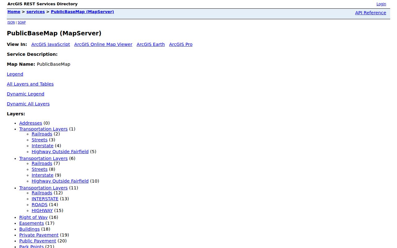
Use the map to orient an address, then confirm the parcel through the Butler County Auditor Property Record Search before treating a location as a tax-record match.
Fairfield ZIP Code Boundaries
City boundaries, mailing labels, and property descriptions are different systems. The city uses 45014 at City Hall, but the surrounding delivery geography includes labels that cross the municipal edge. The Auditor’s situs field locates a parcel for tax records. A mailing address is correspondence information. A Recorder legal description may instead use a lot, block, subdivision, or township reference. When records disagree, preserve each field and compare the underlying source instead of forcing the ZIP to settle the question.
For a careful record comparison, write down the full delivery address returned by USPS, the city map’s ZIPCODE and USPS_CITY values, the Auditor’s situs and PIN, and the Recorder’s legal-description terms. A property can be found through several of those routes even when their labels are not identical. The legal description is especially useful for older research because it may preserve a lot or subdivision relationship when a postal label or municipal name has shifted in ordinary use.
- ZIP versus ZIP+4
- A ZIP identifies the general delivery area. ZIP+4 adds a more precise delivery segment, such as a block or delivery point grouping.
- PO Box ZIP
- A ZIP used for post-office boxes. Fairfield’s 45018 is identified as a PO Box designation, not a street-delivery area.
- Unique ZIP
- A ZIP assigned to one organization or high-volume recipient. No claim is made here that Fairfield has one.
- Carrier route
- A mail-delivery grouping used for sorting and delivery operations. It is not a municipal boundary or a parcel-ownership field.